 Columbia Glacier 1979 (USGS)
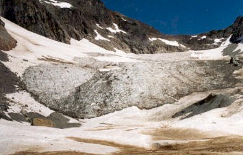
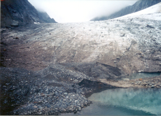
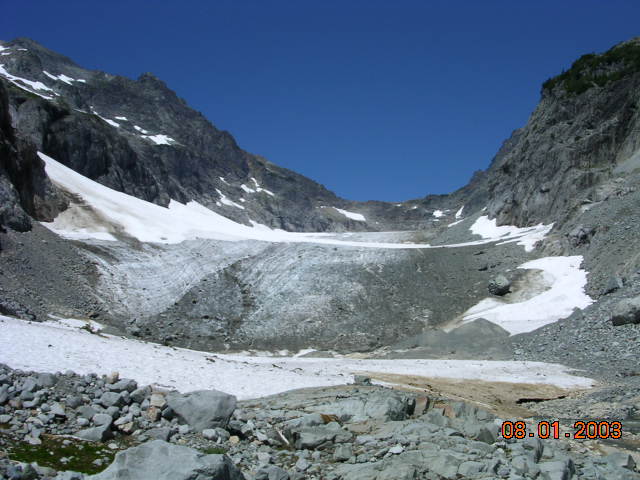
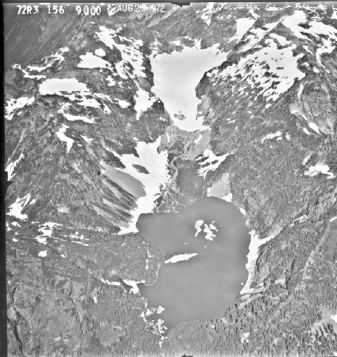
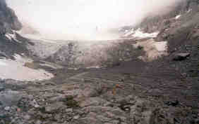
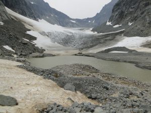
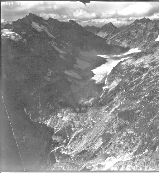
This is the lowest elevation large glacier in the North Cascades. It is also a World Glacier Monitoring Service reference glacier 1 of 42 total. Columbia Glacier occupies a deep cirque above Blanca Lake and ranging in altitude from 1400 meters to 1700 meters. Kyes, Monte Cristo and Columbia Peak surround the glacier with summits 700 meters above the glacier. These mountains also had several niche glaciers high on their slopes as we began the project in the 1980s,The glacier is the beneficiary of heavy orographic lifting over the surrounding peaks, and heavy avalanching off the same peaks. Over the last 40 years the annual mass balance measurements indicate the glacier has los 20 meters of thickness. Given the average thickness of the glacier of close to 75 meters in 1984 this represents a 20% loss in glacier volume. During the same period the glacier has retreated 175 meters, 11% of its length. Most of the loss of volume of this glacier has been through thinning not retreat. The glacier remains thick, but cannot survive current climate, which has left the glacier without any snowpack by the end of the summer in five of the last 10 years. This lack of persistence is the sign of a glacier than cannot survive.